
Fortress Town · Volcanic Cone · Southern Val d'Orcia
Radicofani
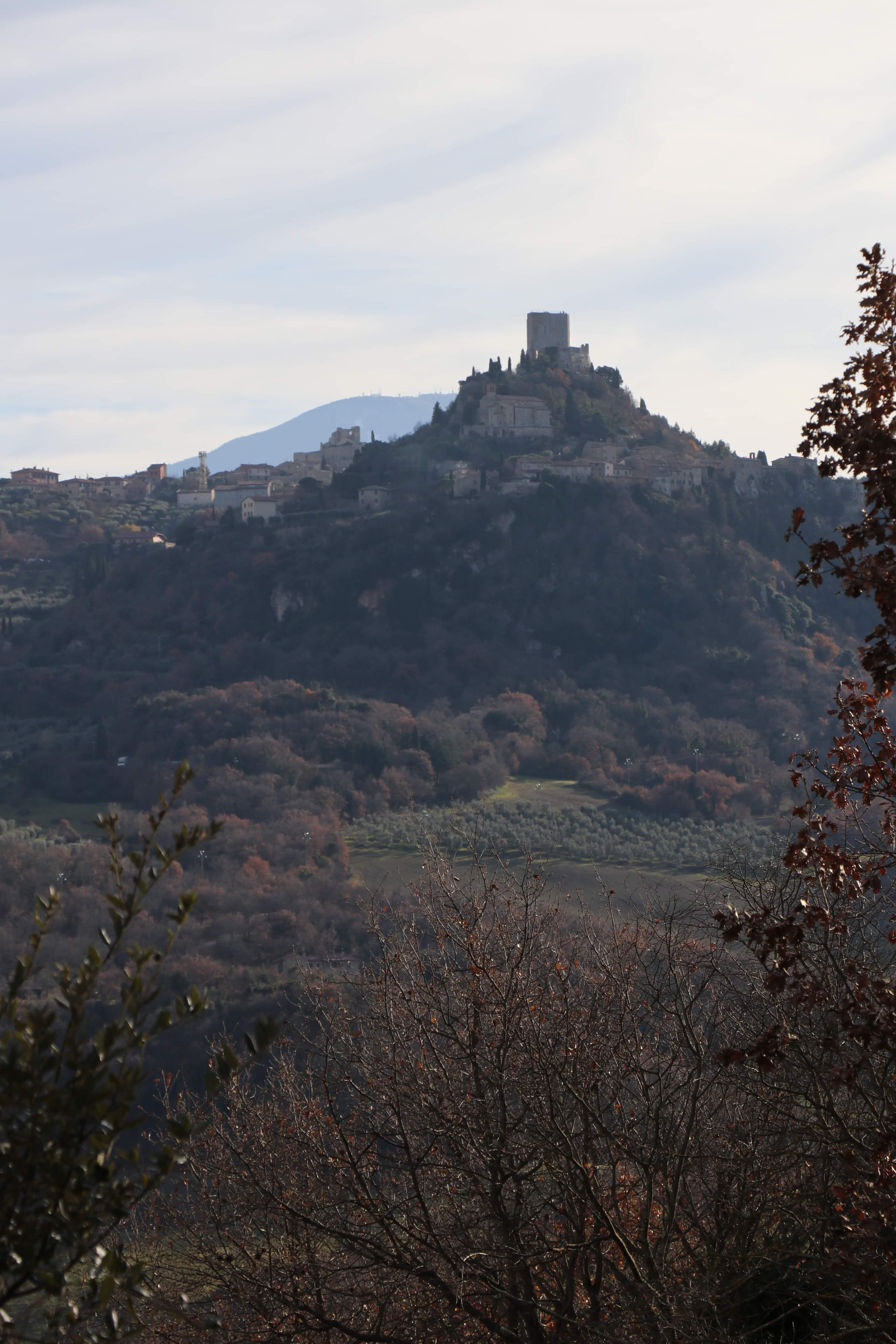
A medieval fortress on a volcanic spur above the southern Val d'Orcia
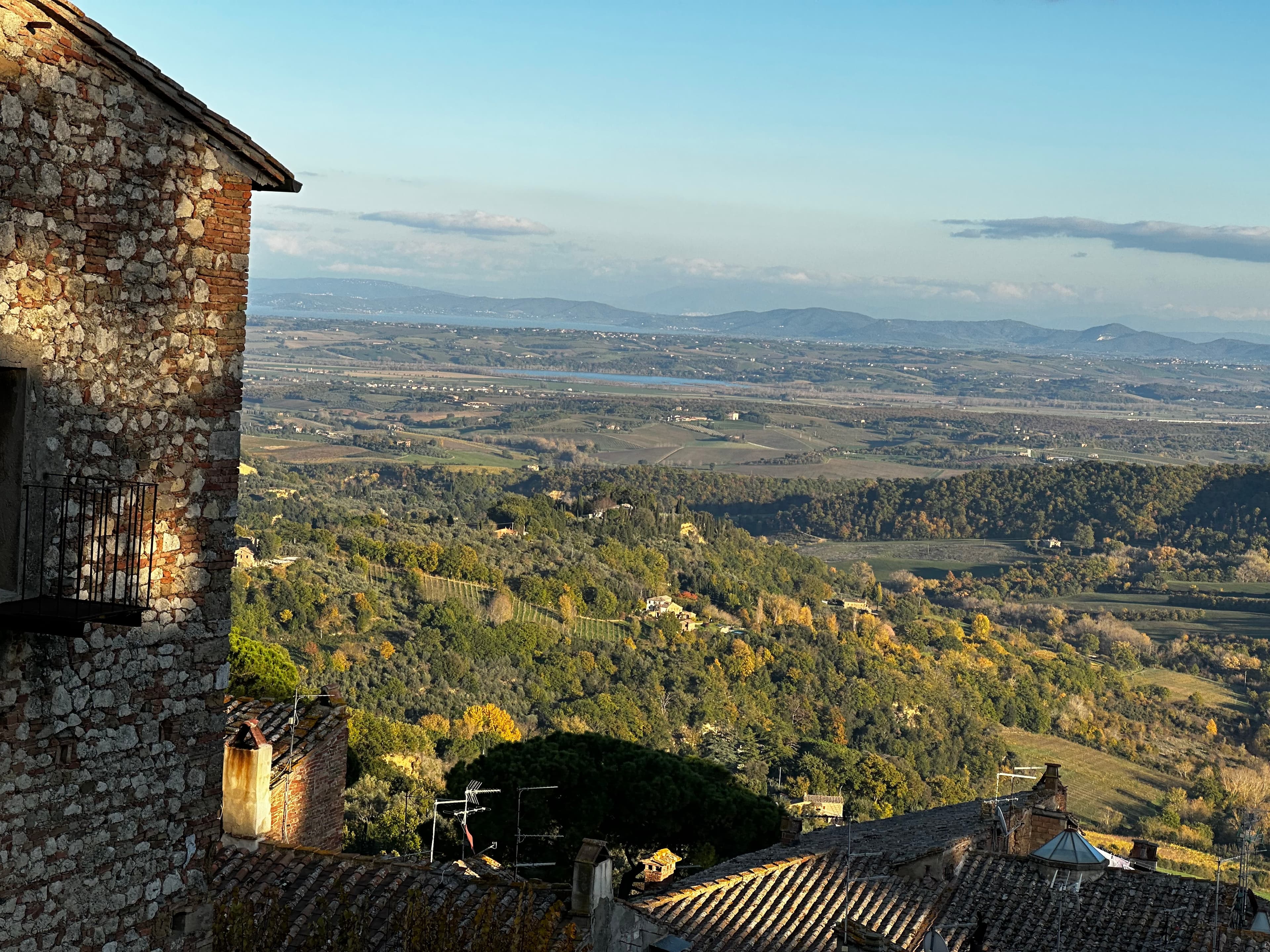
Rising from a column of ancient volcanic rock 896 metres above sea level, Radicofani is one of the most dramatic silhouettes in southern Tuscany. The fortress at its summit controlled a crucial stretch of the Via Francigena and the old Cassia route between Siena, Rome and the south. Today the town is small and quiet, the fortress restored and open to visitors. From the battlements, on a clear day, the view stretches across the Val d'Orcia, toward Monte Amiata and far into the borderlands of Tuscany and Lazio.
La Rocca di Radicofani
The Fortress of the Via Francigena
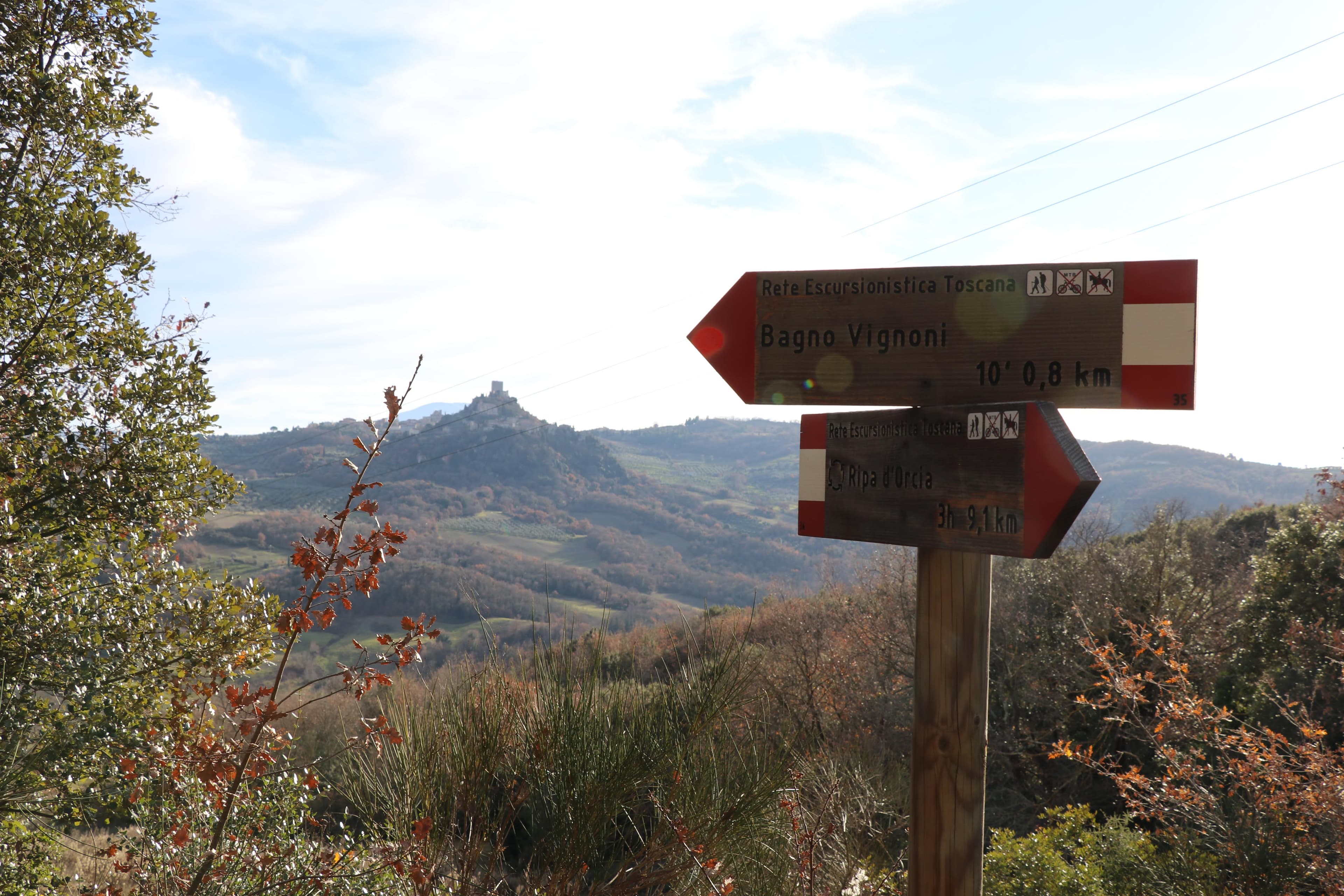
The Rocca di Radicofani is documented from the early Middle Ages and was repeatedly contested because of its strategic position above the road. It became especially famous through Ghino di Tacco, who used the fortress as his base at the end of the 13th century. Later the structure was reinforced and altered through the centuries, then partially ruined before modern restoration made it visitable again. Today visitors can climb to the tower and walk the walls when the fortress is open.
Ghino di Tacco
The Bandit Who Charmed Dante and Boccaccio
In the late 13th century, a Sienese nobleman named Ghino di Tacco was exiled after his family's political disgrace. He seized the Rocca di Radicofani by force and used it as a base for a career of highway robbery that became legendary throughout medieval Italy. He is mentioned in Dante's Purgatorio (Canto VI) and features in Boccaccio's Decameron, where he is portrayed not as a villain but as a man of principle — he freed a wealthy abbot after the abbot's gout was cured by the simple diet of Radicofani. The story says something true about the place: the air here is sharp, the food simple, and the light unforgiving.
Practical Information
- Location
- Radicofani (SI), southern Val d'Orcia
- GPS
- 42.8959° N, 11.7717° E
- Altitude
- 896 m above sea level
- From Pienza
- 38 km southeast (45 min by car)
- From San Quirico d'Orcia
- 28 km south on the Via Cassia
- Rocca di Radicofani
- Opening days and hours vary by season — check the fortress website or local notices
- Entry
- Paid entry; check current ticket prices locally
- Best time
- Clear days in spring or autumn for maximum visibility
Gallery
Plan the whole valley
Build this stop into your itinerary
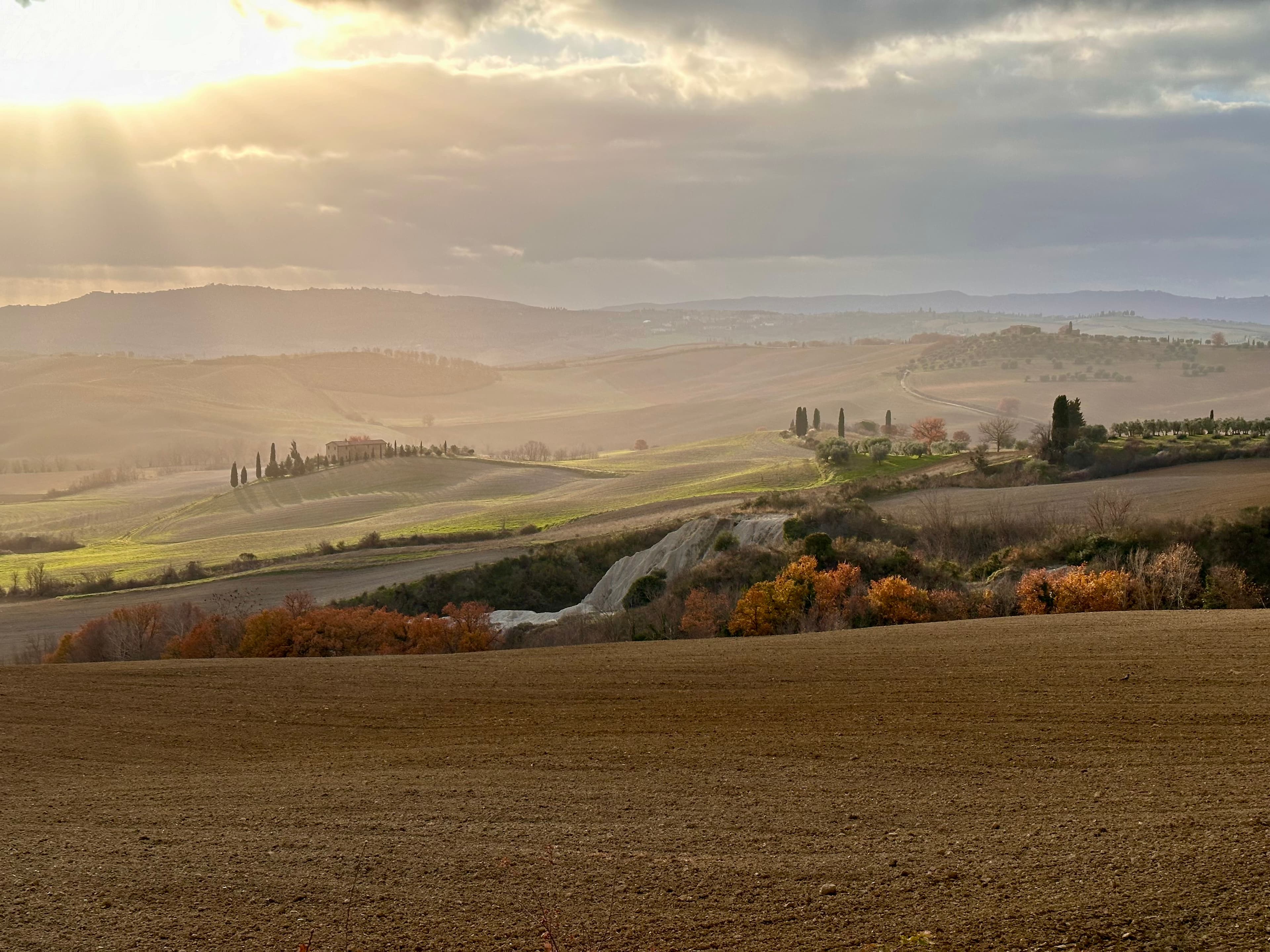
See how to combine Pienza, the Gladiator locations, villages, thermal sites and abbeys without rushing.