
Medieval Hill Town · Between Montalcino and Amiata
Castiglione d'Orcia
A fortress town above the valley — and the gateway to Monte Amiata
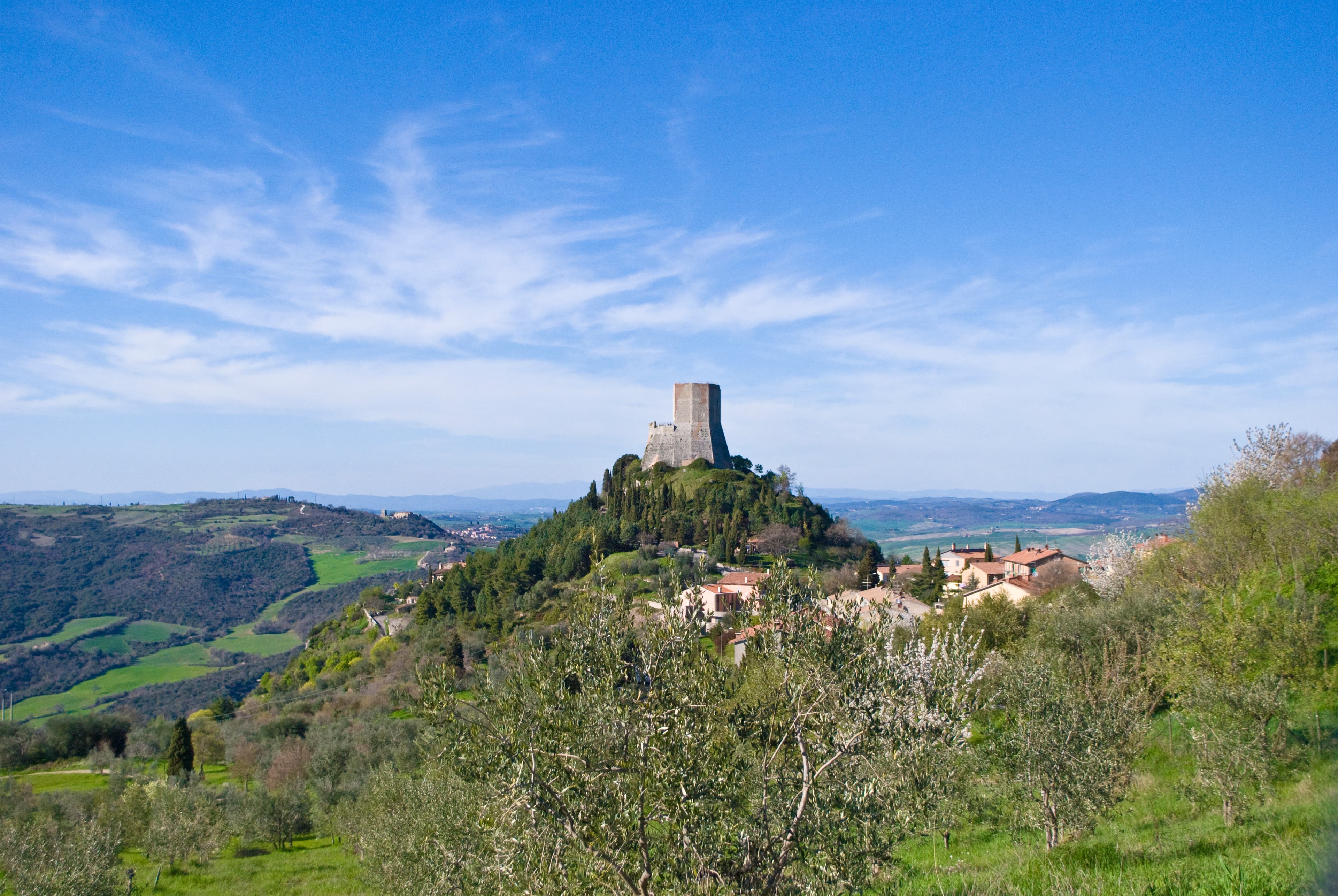
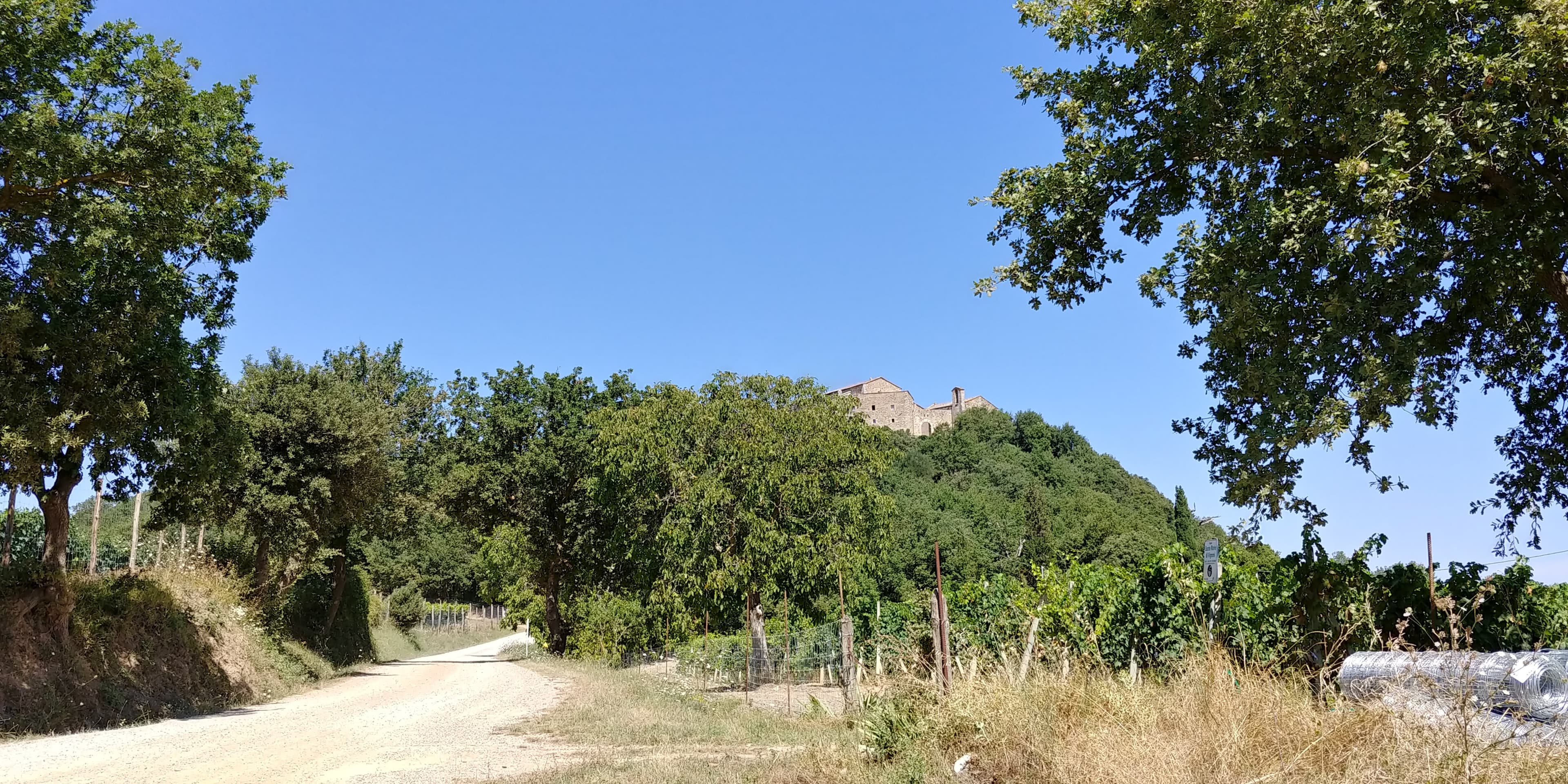
Castiglione d'Orcia stands between the Val d'Orcia and the southern slopes of Monte Amiata. The town rises sharply from the surrounding fields to a central piazza framed by a medieval loggia, with the Rocca di Tentennano visible on the ridge near Rocca d'Orcia. Today the town is the administrative centre for a large municipality that includes Rocca d'Orcia, Bagni San Filippo, Vivo d'Orcia, and Campiglia d'Orcia — essentially the southern gateway to the Val d'Orcia.
The Town
A Piazza With a Medieval Loggia
The main square of Castiglione d'Orcia is one of the most atmospherically preserved medieval piazzas in the Val d'Orcia: a wellhead in the centre, a 14th-century travertine fountain, and a loggia that has provided shade for the market since the medieval period. The church of Ss. Stefano e Degna contains works by Pietro Lorenzetti and Simone Martini. The whole town takes about 30 minutes to walk — but there is a café and it invites lingering.
Rocca di Tentennano
The Fortress on the Ridge
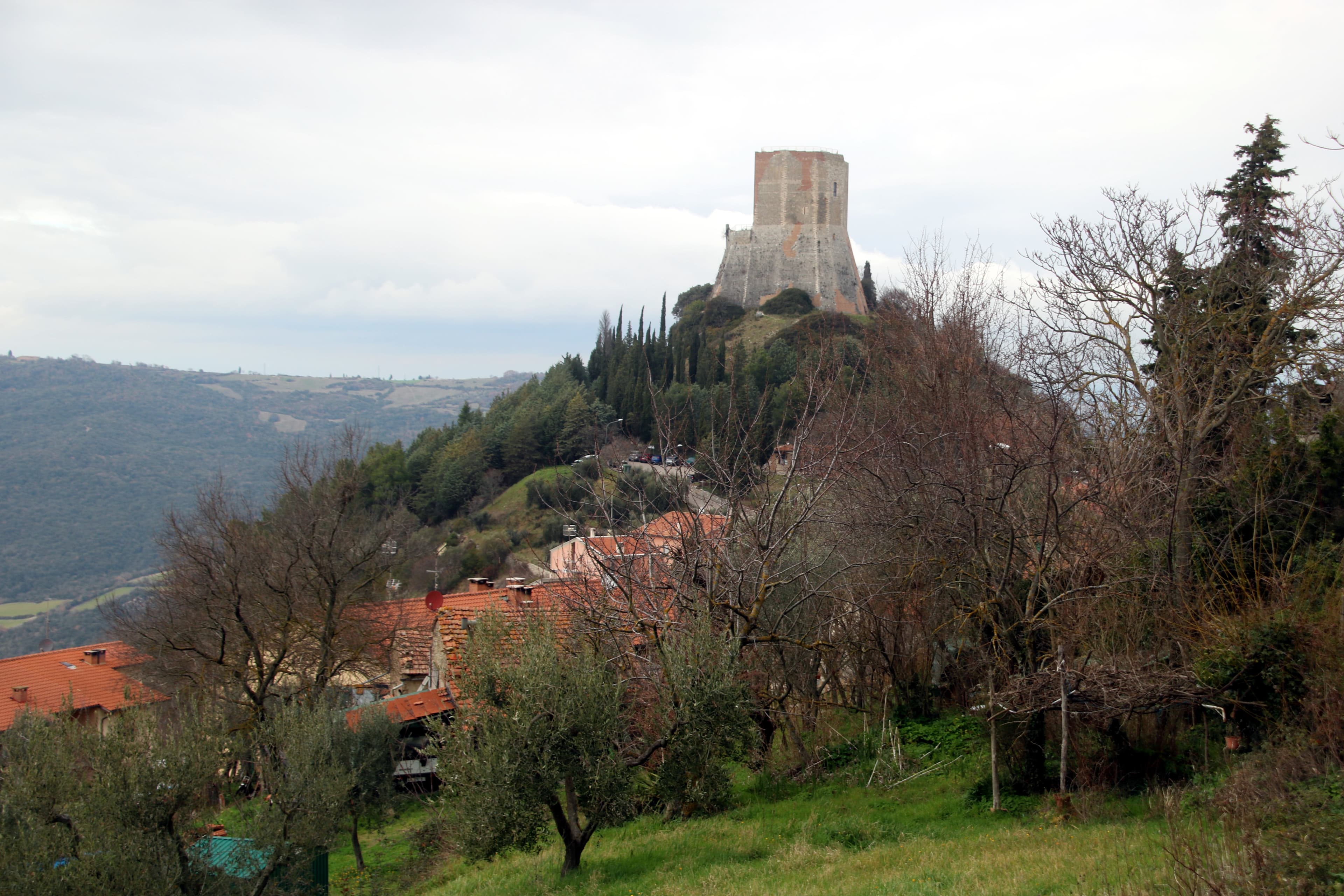
The Rocca di Tentennano sits on a natural volcanic spire above the hamlet of Rocca d'Orcia, a few kilometres below Castiglione. Built and rebuilt through the medieval period, it was one of the strategic fortresses of southern Tuscany. From its tower, the views extend across the Val d'Orcia, toward Monte Amiata and the surrounding hill towns. The fortress can usually be visited in season; check current opening times locally.
Practical Information
- Location
- Castiglione d'Orcia (SI), southern Val d'Orcia, Tuscany
- GPS
- 43.0087° N, 11.6080° E
- From Montalcino
- 14 km south-east (20 min)
- From San Quirico d'Orcia
- 14 km south (20 min)
- Rocca di Tentennano
- Seasonal opening; check current hours locally
- Bagni San Filippo
- About 12 km south — thermal village and Fosso Bianco
Gallery